Posted: July 18, 2010 at 11:43 pm | Tags: 33, Meiners Oaks, Ojai, Pine Mountain, Pine Mountain Inn, Pine Mountain Ridge Road, Pine Mountain Summit, Rose Valley, Sespe Creek
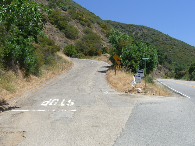
33 North from Ojai is one of the most beautiful cycling hill climbing routes ever created. While never all that steep, the route is incredibly scenic and offers lots of changing scenery if you ride it all the way to Pine Mountain Summit. Going all the way to Pine Mountain Summit along Route 33 means a 30 mile (one-way) ride that takes you up to a max elevation of 5160 ft. With a starting elevation of ~800 ft and some rolling sections, this means an overall elevation gain nearing 5000 ft. Pretty solid. If that is too easy, you can also ride up Pine Mountain Ridge Road to get to the real Pine Mountain itself, another 2000 ft higher (and a very tough and rough 2000 ft!). Also, if you go beyond Rose Valley Summit, bring a Camelback as there were no water sources that we could find.
Stats:
33 to Rose Valley Summit – 11.4 miles at 4.3% (2600 ft gain)
11.7 miles of easy climbing and rollers between Rose Valley Summit and the bottom of the Pine Mountain Summit Climb (1.4% – 850 ft gain)
Climb to Pine Mountain Summit – 3 miles at 5.4% (850 ft gain) – last 2/3 of a mile at 8%
Pine Mountain Ridge Road Climb – 6.1 miles at 6.4% (2050 ft gain), steepest 3.7 miles at 7.8%, steepest 1.75 miles at 9.1%
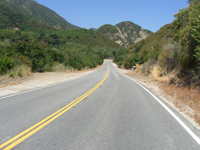
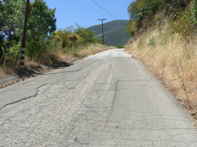
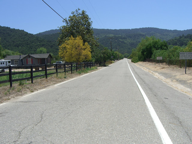
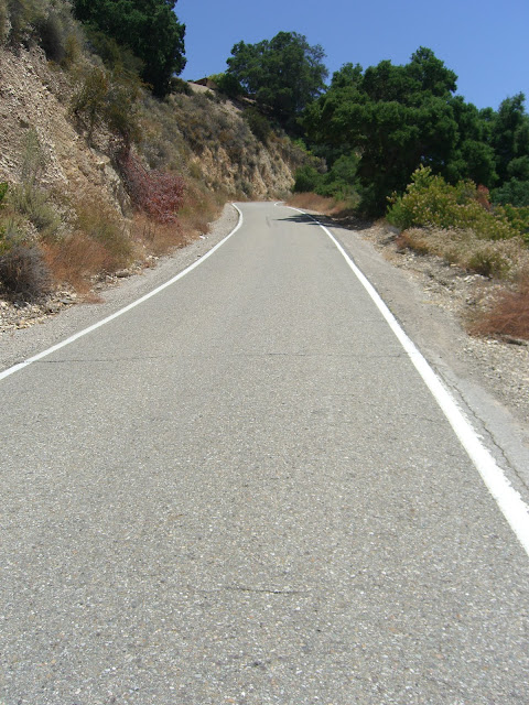
Anyway, the climbing starts just north of Meiners Oaks along Route 33. From Ojai, head west along 150 (Ojai Ave) for about 1 mile before turning right (& heading north) on 33. At about 4.5 miles in, the climbing starts in earnest as you pass by Matilija Lake. This first section, before the real climbing, is quite pleasant:
Nearing Matilija Lake:
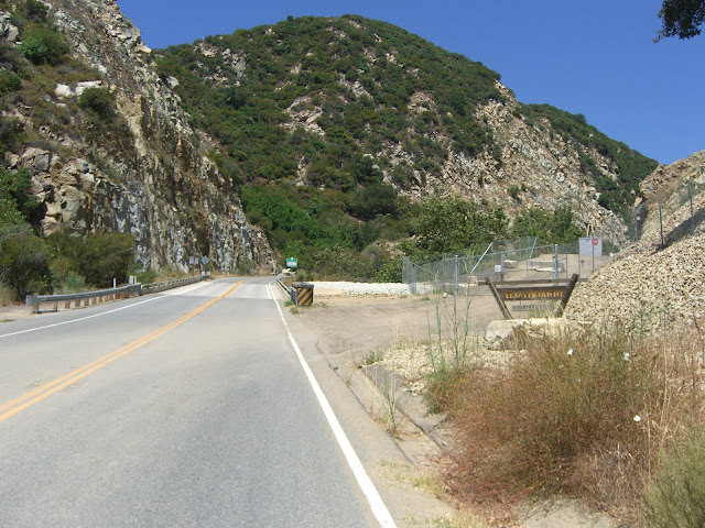
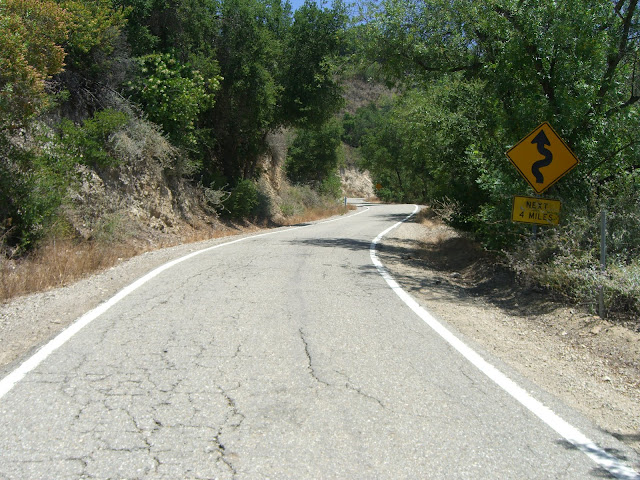
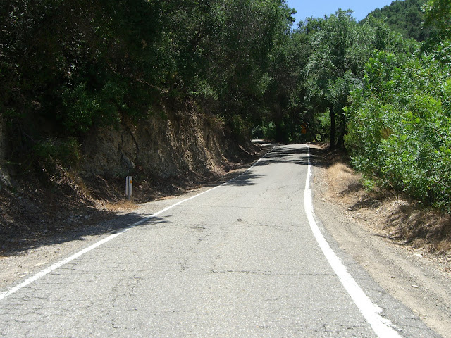
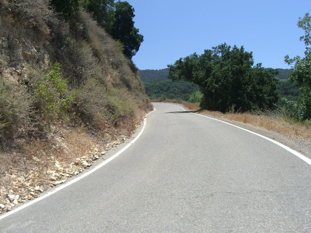
As you approach Matilija Lake, the actual climbing begins:
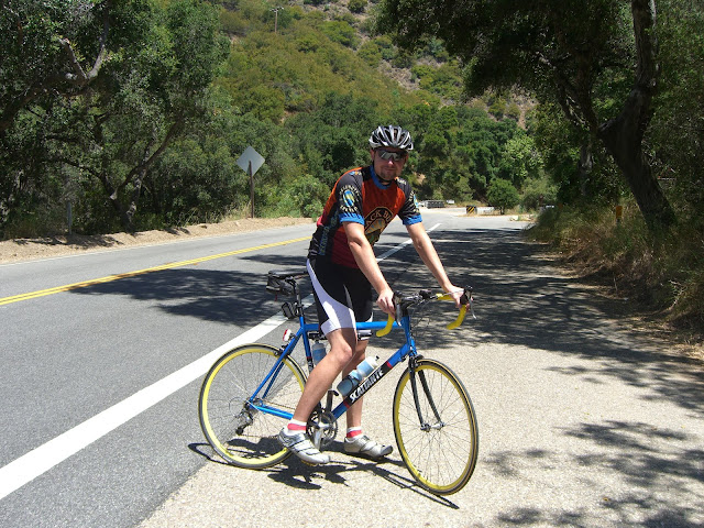
Me..getting ready for a long climb..
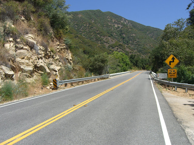
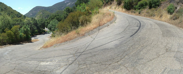
Just a bit north of this point, I elected to throw in a touch of brief, steep climbing. Matilija Canyon Road presents an awesomely steep section of road:
Crazy, no?
Read the Full Ride Report
Posted: June 30, 2010 at 12:48 am | Tags: 150, Koenigstein Rd, Ojai, Santa Paula, Sulphur Mountain, Sulphur Mountain Rd
Sulphur Mountain is one of those climbs that you really have to hunt for to find. With only a couple of passing mentions on bikeforums and virtually nothing on google (aside from a few pages about mountain biking portions of it), this climb is easily overlooked. Even the road itself is plain looking at its turnoff from route 150 just outside of Ojai – you’d never guess it goes anywhere special. This is a shame. Sulphur Mountain Rd is a great climb. While relatively short (only 1240 ft in elevation gain total), the first couple of miles average 8.8%..and the first mile averages 10%! Needless to say, this is a challenging little climb.
A few important stats:
First 0.7 Miles (the steepest section): 10.5% average
First Mile: 10% average (525 ft elevation gain)
Main Climbing Section (2.05 miles and 945 ft elevation gain): 8.8% average
Overall Climb (3.42 miles and 1240 ft elevation gain): 6.9%
Overall Ride (bottom of climbing section to end of Sulphur Mountain Rd): 4.3 miles
If you only look at the overall climb numbers, 6.9% doesn’t sound too bad. This is deceptive. The first 2 miles climb steeply up to the ridge line while the following 1.5 miles meander gently (with a few steep portions thrown in) along the ridge. Basically, if you can get up those 2 steep miles, you are good to go.
Anyway, on to the pictures!
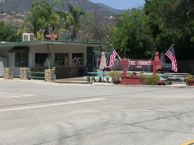
A nice place to start is near The Summit roadside food stand:
The name refers to the fact that this is the summit of route 150 between Ojai and Santa Paula (at just over 1560 ft in elevation). In fact, this is the highest point along all of route 150 (the other high point along the Casitas Pass section tops out at under 1200 ft). 150 itself is a great road to ride on as well, so starting in either Ojai or Santa Paula and riding up 150 to Sulphur Mountain would be great as well. However, if you are pressed for time, as I was, the streets around The Summit provide the best relatively secure, close parking area for this ride. From here, you gradually descend a couple of miles along 150 towards Ojai before turning left on Sulphur Mountain Rd. Watch for this intersection as it is not well marked.
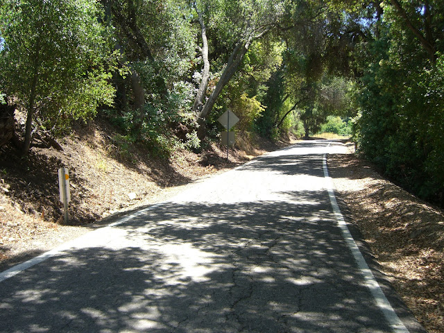
The first part of Sulphur Mountain Rd is relatively flat with some houses along the road:
The hill in the background is what you are about to climb up. Very quickly, the climbing starts:
Some of this steep climbing is shaded:
Some is not well shaded:
Sections like this will test you:
Steep (10%+), exposed and sun-drenched (the sun just bounces off those rock walls). Luckily, you do get a lot of shaded sections:
Read the Full Ride Report