Ojai – Sulphur Mountain
Posted: June 30, 2010 at 12:48 am | Tags: 150, Koenigstein Rd, Ojai, Santa Paula, Sulphur Mountain, Sulphur Mountain RdSulphur Mountain is one of those climbs that you really have to hunt for to find. With only a couple of passing mentions on bikeforums and virtually nothing on google (aside from a few pages about mountain biking portions of it), this climb is easily overlooked. Even the road itself is plain looking at its turnoff from route 150 just outside of Ojai – you’d never guess it goes anywhere special. This is a shame. Sulphur Mountain Rd is a great climb. While relatively short (only 1240 ft in elevation gain total), the first couple of miles average 8.8%..and the first mile averages 10%! Needless to say, this is a challenging little climb.
A few important stats:
If you only look at the overall climb numbers, 6.9% doesn’t sound too bad. This is deceptive. The first 2 miles climb steeply up to the ridge line while the following 1.5 miles meander gently (with a few steep portions thrown in) along the ridge. Basically, if you can get up those 2 steep miles, you are good to go.
Anyway, on to the pictures!
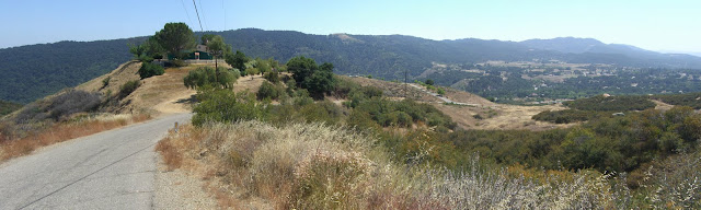
A nice place to start is near The Summit roadside food stand:
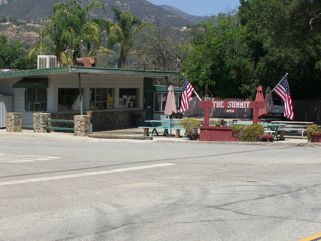 |
| From 2010-06-28 – Ojai Cycling – Sulphur Mountain Rd |
The name refers to the fact that this is the summit of route 150 between Ojai and Santa Paula (at just over 1560 ft in elevation). In fact, this is the highest point along all of route 150 (the other high point along the Casitas Pass section tops out at under 1200 ft). 150 itself is a great road to ride on as well, so starting in either Ojai or Santa Paula and riding up 150 to Sulphur Mountain would be great as well. However, if you are pressed for time, as I was, the streets around The Summit provide the best relatively secure, close parking area for this ride. From here, you gradually descend a couple of miles along 150 towards Ojai before turning left on Sulphur Mountain Rd. Watch for this intersection as it is not well marked.
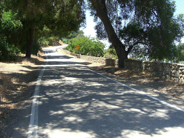
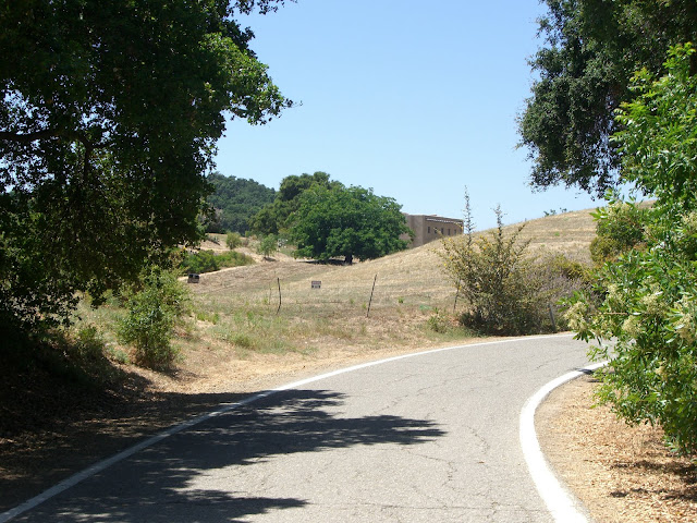
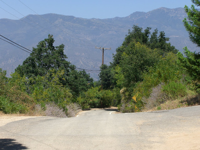
The first part of Sulphur Mountain Rd is relatively flat with some houses along the road:
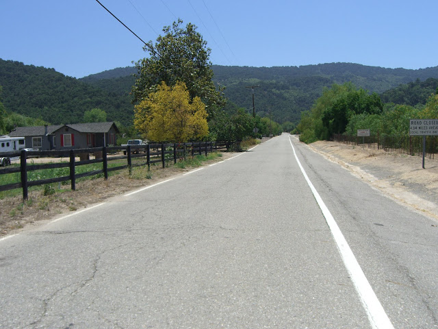 |
| From 2010-06-28 – Ojai Cycling – Sulphur Mountain Rd |
The hill in the background is what you are about to climb up. Very quickly, the climbing starts:
 |
| From 2010-06-28 – Ojai Cycling – Sulphur Mountain Rd |
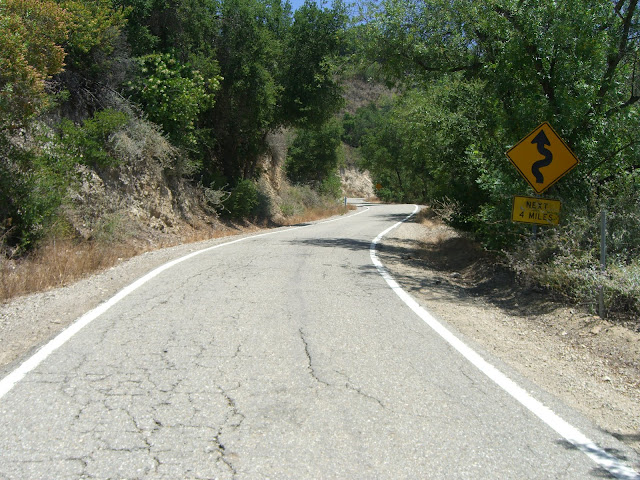
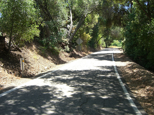
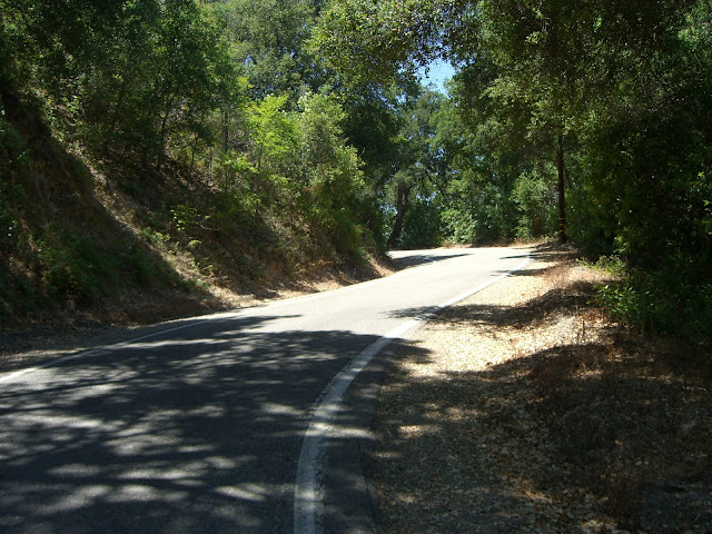
Some of this steep climbing is shaded:
 |
| From 2010-06-28 – Ojai Cycling – Sulphur Mountain Rd |
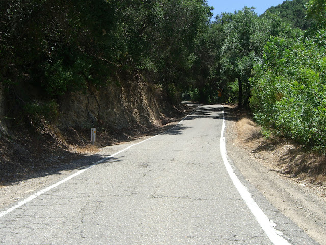
Some is not well shaded:
 |
| From 2010-06-28 – Ojai Cycling – Sulphur Mountain Rd |
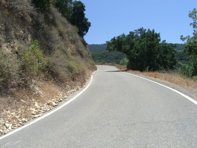
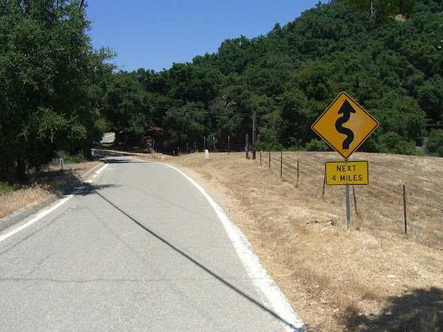
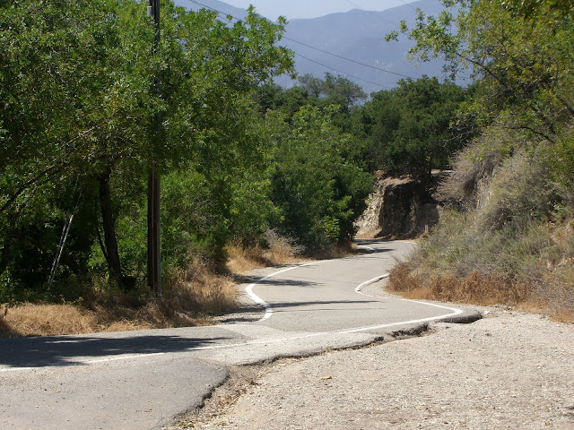
Sections like this will test you:
 |
| From 2010-06-28 – Ojai Cycling – Sulphur Mountain Rd |
Steep (10%+), exposed and sun-drenched (the sun just bounces off those rock walls). Luckily, you do get a lot of shaded sections:
 |
| From 2010-06-28 – Ojai Cycling – Sulphur Mountain Rd |
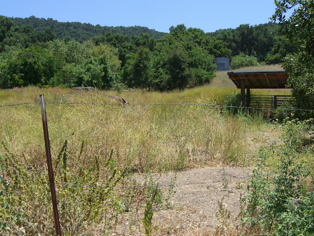
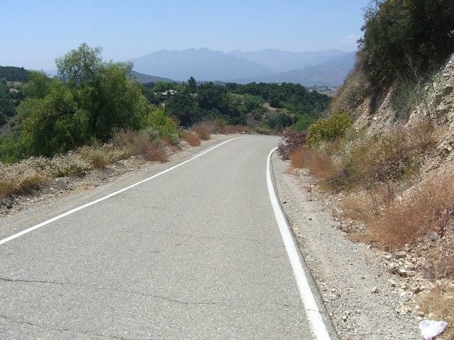
Still steep, but not so brutal midday. As you ascend, you will pass a few ranches:
 |
| From 2010-06-28 – Ojai Cycling – Sulphur Mountain Rd |
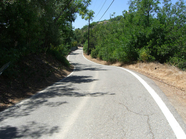
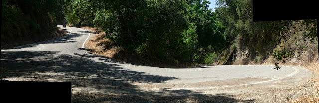
One nice section of road:
 |
| From 2010-06-28 – Ojai Cycling – Sulphur Mountain Rd |
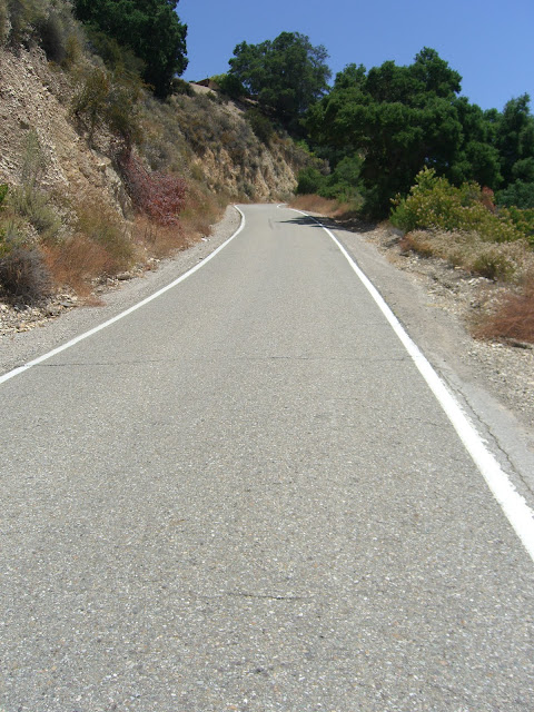
The last part of the steep section:
 |
| From 2010-06-28 – Ojai Cycling – Sulphur Mountain Rd |
 |
| From 2010-06-28 – Ojai Cycling – Sulphur Mountain Rd |
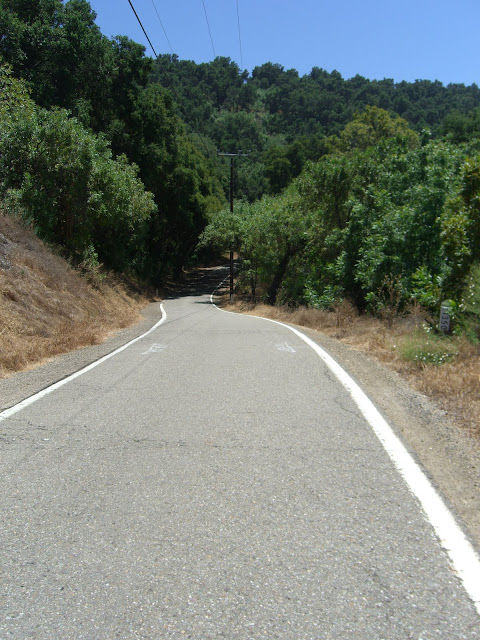
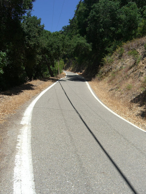
2 miles of steep climbing later and you hit the ridgeline:
 |
| From 2010-06-28 – Ojai Cycling – Sulphur Mountain Rd |
Along this stretch you will enjoy rolling hills (with a couple of steep ramps) along with a number of impressive residences:
 |
| From 2010-06-28 – Ojai Cycling – Sulphur Mountain Rd |
And some beautiful mini-descents:
 |
| From 2010-06-28 – Ojai Cycling – Sulphur Mountain Rd |
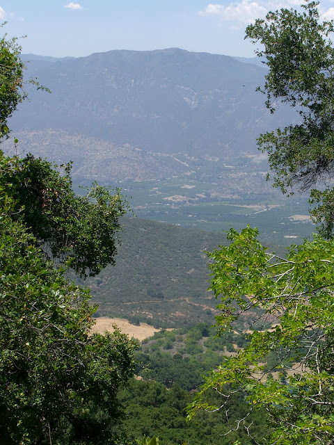
Oh, and the views are occasionally quite nice:
 |
| From 2010-06-28 – Ojai Cycling – Sulphur Mountain Rd |
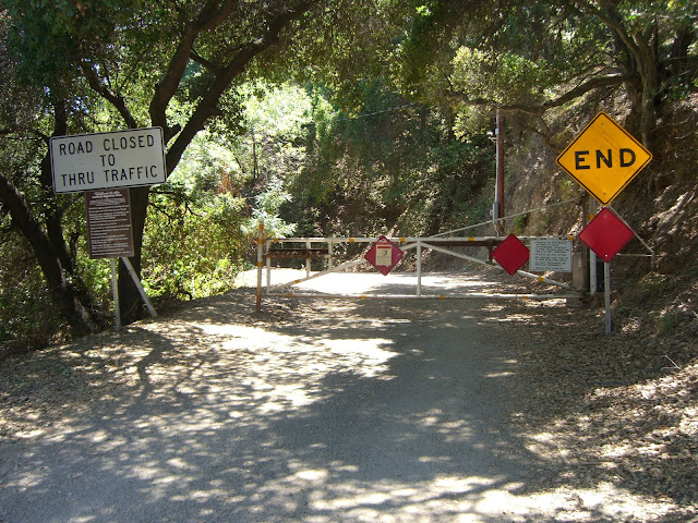
Finally, after 4.3 miles of riding from the bottom of the climb, you hit the end of the road:
 |
| From 2010-06-28 – Ojai Cycling – Sulphur Mountain Rd |
 |
| From 2010-06-28 – Ojai Cycling – Sulphur Mountain Rd |
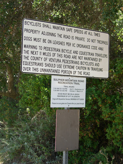
The road beyond this point is not paved (but can be ridden and is a common mountain bike route). Looking back from this point, the view is very nice:
 |
| From 2010-06-28 – Ojai Cycling – Sulphur Mountain Rd |
Of course, heading back, you have some small climbs to do (remember, you did descend some along this route!):
 |
| From 2010-06-28 – Ojai Cycling – Sulphur Mountain Rd |
 |
| From 2010-06-28 – Ojai Cycling – Sulphur Mountain Rd |
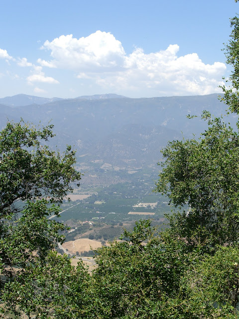
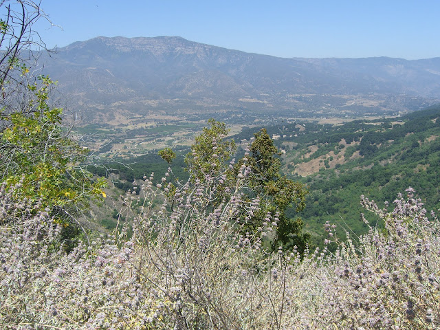
This is the toughest ascent along the way back. It is not very tough though – only a few hundred feet in elevation gain. As you climb, make sure to look to your left for some great views inland:
 |
| From 2010-06-28 – Ojai Cycling – Sulphur Mountain Rd |
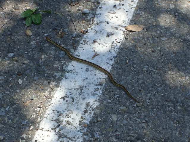
Also, please don’t run over the snakes:
 |
| From 2010-06-28 – Ojai Cycling – Sulphur Mountain Rd |
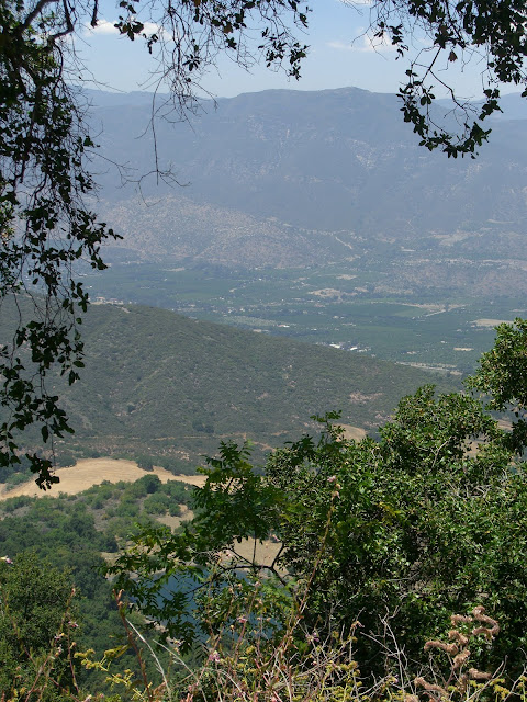
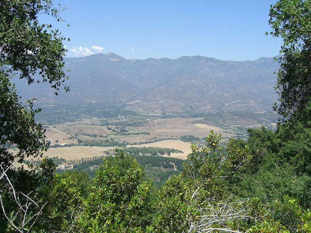
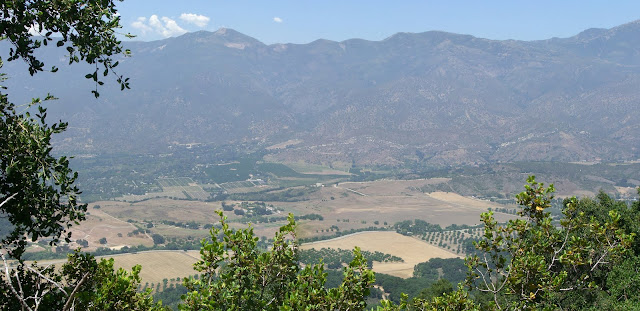
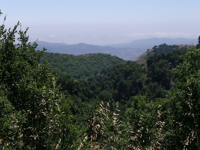
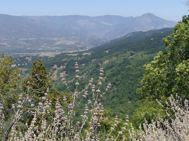
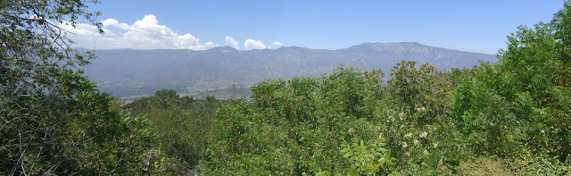
Again, some awesome views:
 |
| From 2010-06-28 – Ojai Cycling – Sulphur Mountain Rd |
 |
| From 2010-06-28 – Ojai Cycling – Sulphur Mountain Rd |
 |
| From 2010-06-28 – Ojai Cycling – Sulphur Mountain Rd |
Too bad you have to seek out these viewpoints. Most of the road is bordered by trees that block your view. Keep an eye out though and seek out these viewpoints. They are worth it.
Looking towards the ocean (click on the photo below and check out the sweet house on the right of the photo):
 |
| From 2010-06-28 – Ojai Cycling – Sulphur Mountain Rd |
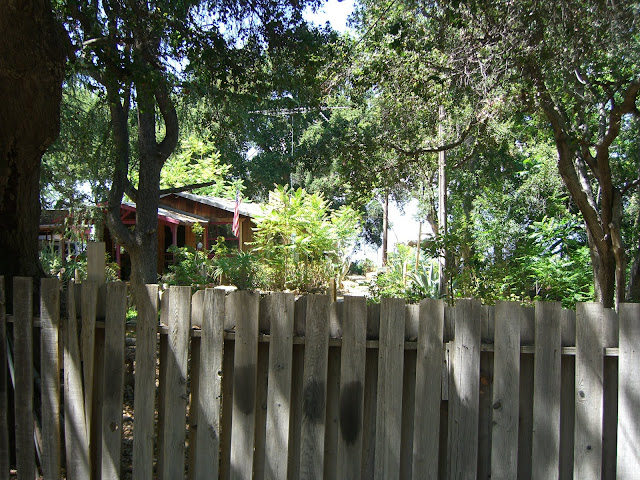
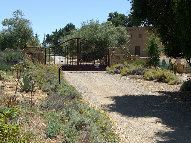
A couple of cool houses along the road:
 |
| From 2010-06-28 – Ojai Cycling – Sulphur Mountain Rd |
 |
| From 2010-06-28 – Ojai Cycling – Sulphur Mountain Rd |
That first house had a gazebo overlooking the whole inland valley. Amazing.
Possibly the best vantage point along the road:
 |
| From 2010-06-28 – Ojai Cycling – Sulphur Mountain Rd |
 |
| From 2010-06-28 – Ojai Cycling – Sulphur Mountain Rd |
Although this one isn’t too bad:
 |
| From 2010-06-28 – Ojai Cycling – Sulphur Mountain Rd |
The “Tower” along the road:
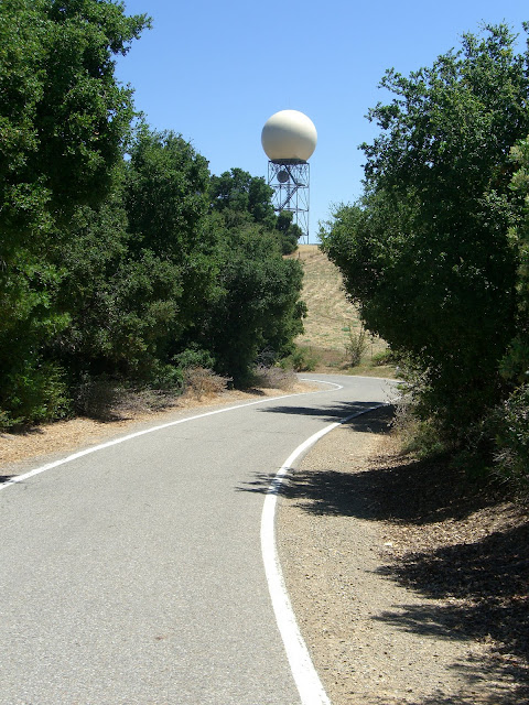 |
| From 2010-06-28 – Ojai Cycling – Sulphur Mountain Rd |
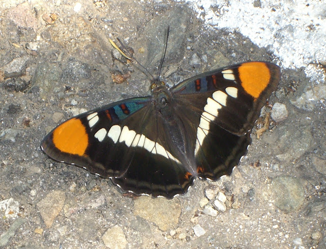
After this stretch, you start a very fast descent. The road surface is decent, but there is a fair amount of rock debris scattered along the road. This is complicated by all the shadows along the way that obscure the debris. There is also a lot of wildlife along the way – deer (lots of them in these hills), squirrels..all the way down to beautiful butterflies:
 |
| From 2010-06-28 – Ojai Cycling – Sulphur Mountain Rd |
Be careful on the descent. With that said, enjoy the beauty along the way:
 |
| From 2010-06-28 – Ojai Cycling – Sulphur Mountain Rd |
 |
| From 2010-06-28 – Ojai Cycling – Sulphur Mountain Rd |
 |
| From 2010-06-28 – Ojai Cycling – Sulphur Mountain Rd |
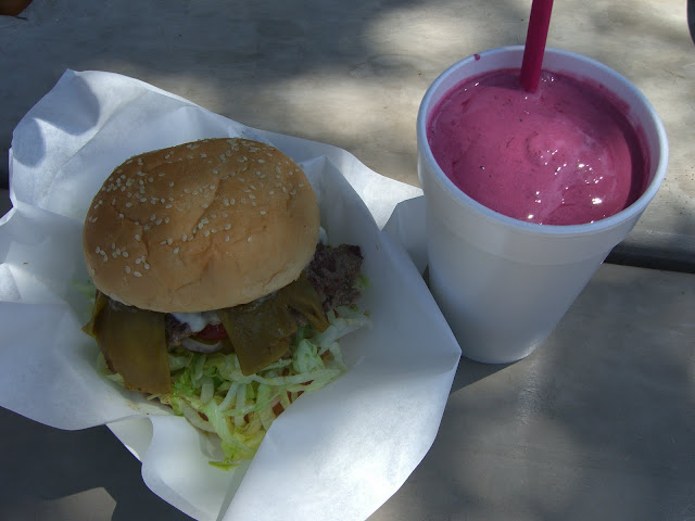
Finally, finish the ride by heading back to The Summit and getting some food and drink:
 |
| From 2010-06-28 – Ojai Cycling – Sulphur Mountain Rd |
Loaded Ortega Swiss Burger with a Fresh Blackberry Milkshake. The burger was huge and definitely hit the spot (and was only about $6). The shake was great – fresh picked blackberries blended into a milkshake (they are apparently somewhat famous for their fresh fruit/berry shakes). This is the perfect food stop after a ride in the area. Lots of outdoor seating. Excellent.
Finally, I have to mention one other mini-climb only a mile or so from here:
 |
| From 2010-06-28 – Ojai Cycling – Sulphur Mountain Rd |
Koenigstein Rd averages about 9.5% for over 1 mile. The steepest stretch (about 0.6 miles) averages over 12% and gains almost 400 feet in elevation. While short, this would be a nice way to pad your climbing along route 150. Unfortunately, I did not actually get to ride this. I did, however, check it out in my car on my way out. It definitely looks like a fun little climb – but very exposed…so doing it in cooler temperatures would be recommended. If you do climb this, you will at least get some nice views (as you can see from the picture above).
Anyway, Sulphur Mountain is a nice little climb outside of Ojai and Santa Paula. While too short to warrant a long drive, this is a great climb to try if you happen to be in either Ojai or Santa Paula. The views are mostly obscured by trees, but the views you do get are outstanding. Additionally, the climb is stiff and challenging along the first 2 miles. I’d recommend making a weekend out of riding in the Ojai area. Ojai itself is a wonderful town that is worth exploring. The climb up 33 to Rose Valley or all the way up to Pine Mountain Summit is one of the best rides in the area. And, the shorter climb up 150 to the west (Casitas Pass) is great as well. Give yourself a few days in the area to ride those roads. Do that, and Sulphur Mountain is absolutely worth throwing in as a fun, short-to-medium length and challenging climb.
Now, map time!
The whole route (starting at The Summit food stand along 150):
The main climbing section of Sulphur Mountain Rd:
The steep climbing section (2 miles) to the ridge line (click the elevation profile for this):
The first mile (very steep..definitely click the elevation profile for it!):
And, finally, if you decide to throw in Koenigstein Rd into your climbing route, here is the profile for this steep, short climb:
Enjoy!
Prost,
Ryan
The Discussion
see what everyone is saying
looks like a very nice climb. You could add it to a Ventura, Ojai, Santa Paula loop if you wanted a bit more of a challenge!
Definitely! Start in Ojai, go up 33, come back down, head east on 150, climb Sulphur Mountain (and maybe Koenigstein Rd), get a burger and shake at The Summit and head back down to Ojai. That would be a nice solid climbing ride. Throw in Casitas Pass for even more climbing (and great views of the lake).