Santa Monica Mountains Leg Burner – Tuna Canyon, Fernwood & Corral Canyon
Posted: June 8, 2010 at 3:52 am | Tags: Corral Canyon Rd, Fernwood, Saddle Peak Rd, Santa Monica Mountains, Tuna Canyon RdIt’s been too long since I hit the Santa Monica Mountains, so it was about time for me to get back out there. Tuna Canyon was high on my list from reading about it on bikeforums and from having driven down it, so that was on the must-do list. The community of Fernwood is up there as well and, having driven through Fernwood, I knew a super steep climb there that I wanted to do as well (Grand View, specifically). This road is even tough in a car – I saw an SUV almost eat it coming down around a corner and almost going off the side. Finally, to round out the climbing, I found some threads on bikeforums mentioning Corral Canyon as a really tough climb in the area. With this in mind, I figured I could get in a 40-50 mile ride with 4-5k of climbing.
Starting out, you can either park near Tuna Canyon (lots of roadside parking) as I did, or you can park at Malibu Bluffs Park (at the intersection of Malibu Canyon Rd and PCH). I would actually recommend parking at Malibu Bluffs Park as this will give you some relatively flat warm-up before starting to really climb. The rest of this assumes Malibu Bluffs as the starting point (by the way, there are water fountains at the park for those needing water). From here, you head east along PCH for just under 7 miles until hitting Tuna Canyon. Note that it will be easy to miss the turn. Tuna Canyon is one-way downhill, so there are few markings for the road from PCH.
Important Note: As mentioned in the comments section, there is concern about descending cyclists running into ascending cyclists around the blind curves (as you might not be able to hear them). If you do decide you must climb Tuna, please keep this in mind and stay as far right as possible on the curves. And, if you descend Tuna (or any other road, for that matter), don’t assume a blind curve is free from obstacles.
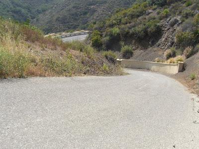
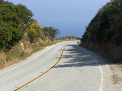
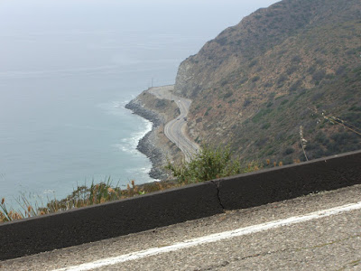
Anyway, moving on. The intersection:
 |
| From 2010-06-06 – Santa Monica Mountains Cycling – Tuna Canyon, Fernwood, Saddle Peak, Corral Canyon |
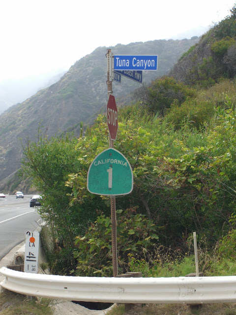
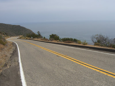
The start of Tuna Canyon:
 |
| From 2010-06-06 – Santa Monica Mountains Cycling – Tuna Canyon, Fernwood, Saddle Peak, Corral Canyon |
Do note that this is technically one-way downhill, so I cannot really recommend that you ride up this. However, if you do decide to ride Tuna, keep a couple of things in mind. First, downhill traffic (very light, thankfully) will not be expecting to see you. Ride as far right as you can and try not to zig-zag. Second, traffic is light – and audible. You will be able to hear any approaching cars or motorcycles. If coming to a blind corner, exercise caution if you hear a vehicle. This might involve pausing for a few seconds until the vehicle has passed. Basically, use some common sense and put yourself in the shoes of a driver not expecting uphill traffic. With that said, traffic is extremely light (expect anywhere from a couple of vehicles to a dozen on your ride).
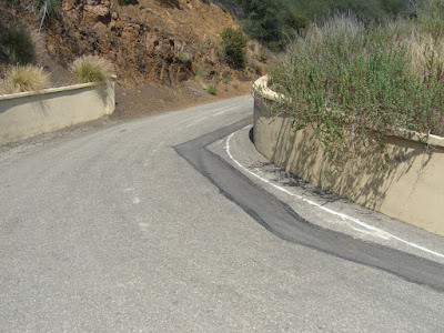
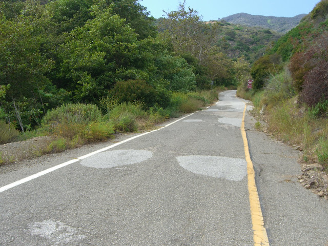
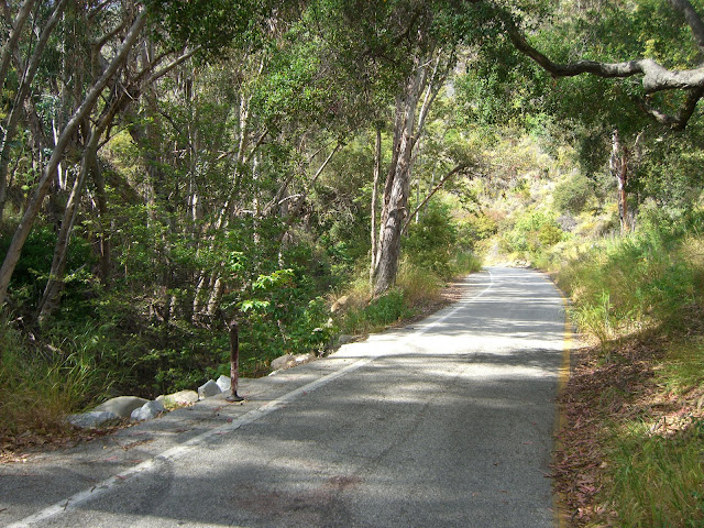
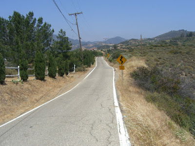
Anyway, the first part is very skinny, rather sheltered and easy:
 |
| From 2010-06-06 – Santa Monica Mountains Cycling – Tuna Canyon, Fernwood, Saddle Peak, Corral Canyon |
 |
| From 2010-06-06 – Santa Monica Mountains Cycling – Tuna Canyon, Fernwood, Saddle Peak, Corral Canyon |
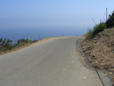
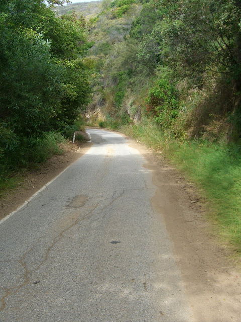
This quickly changes and the climbing really ramps up:
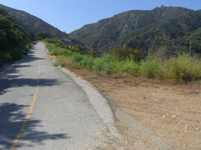 |
| From 2010-06-06 – Santa Monica Mountains Cycling – Tuna Canyon, Fernwood, Saddle Peak, Corral Canyon |
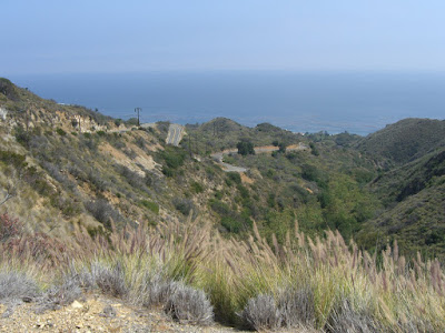
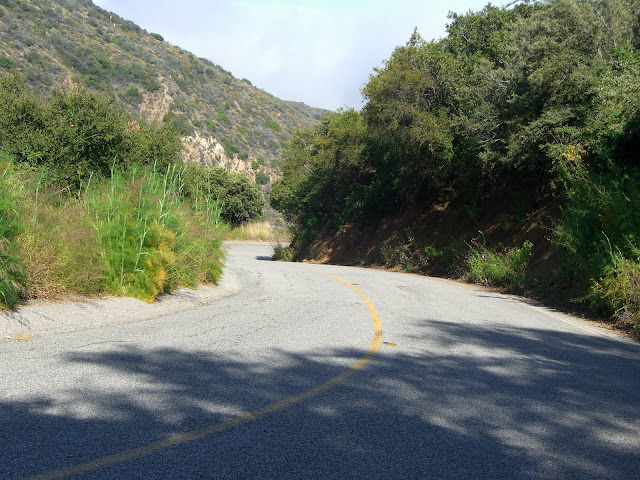 |
| From 2010-06-06 – Santa Monica Mountains Cycling – Tuna Canyon, Fernwood, Saddle Peak, Corral Canyon |
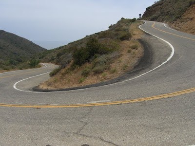
 The first few feet are quite steep: