Santa Barbara – Refugio Rd to West Camino Cielo to Santa Ynez Peak Climb
Posted: July 1, 2010 at 5:10 am | Tags: Camino Cielo, El Capitan, Refugio, Refugio Rd, Santa Ynez PeakSanta Barbara – the epicenter of tough hill climbing in southern California? Quite possibly. While the mountain roads ringing Santa Barbara do not climb as high as those in the LA area (6-8k+ for some), they do provide for some very stout climbing. Old San Marcos/Painted Cave, Gibraltar and Figueroa Mountain are three of the toughest, most scenic climbs around. Refugio Road ranks right up there with these climbs. This is a steep and scenic climb about 20 miles north of Santa Barbara just off the 101. Given the slightly more remote location and the fact that it is not a through road (unless you are willing to descend down a rough dirt road on the other side), Refugio gets very little car traffic. It gets significantly less traffic than Old San Marcos or Gibraltar – and those climbs don’t get all that much traffic.
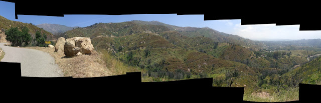
Refugio has one more thing going for it that rarely gets mentioned – you can (and should) connect with West Camino Cielo at the top of the Refugio climb. The Camino Cielo section is much more mellow (aside from the last mile or so), but offers one of the most beautiful and scenic stretches of climbing in southern California. Taken together, this ride has it all – super steep stretches, great scenery and sustained climbing (you start at almost sea level and hit ~4000 ft in elevation).
Important Stats:
Refugio Rd Section:
W Camino Cielo Section:
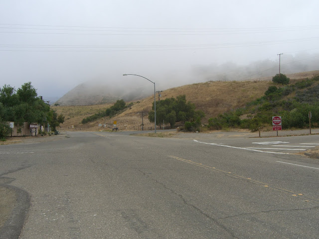
Anyway, this last weekend I got to ride this with my mom. Since it has been about a year since I last rode this, I was definitely looking forward to it. We parked just off the 101 along Refugio Rd – one of the few spots you can park for free in the area. Being right near the ocean, this spot was covered in fog:
 |
| From 2010-06-27 – Santa Barbara Cycling – Refugio Road to W Camino Cielo to Santa Ynez Peak |
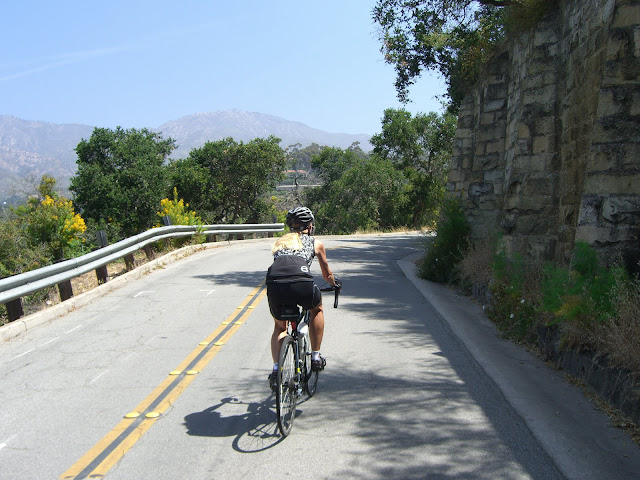
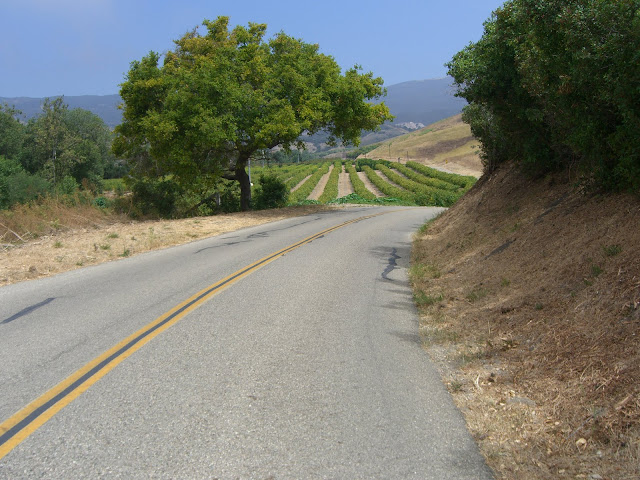
The fog was actually welcome – on a climbing ride fog is very pleasant to have. Unfortunately, the fog quickly disappeared:
 |
| From 2010-06-27 – Santa Barbara Cycling – Refugio Road to W Camino Cielo to Santa Ynez Peak |
 |
| From 2010-06-27 – Santa Barbara Cycling – Refugio Road to W Camino Cielo to Santa Ynez Peak |
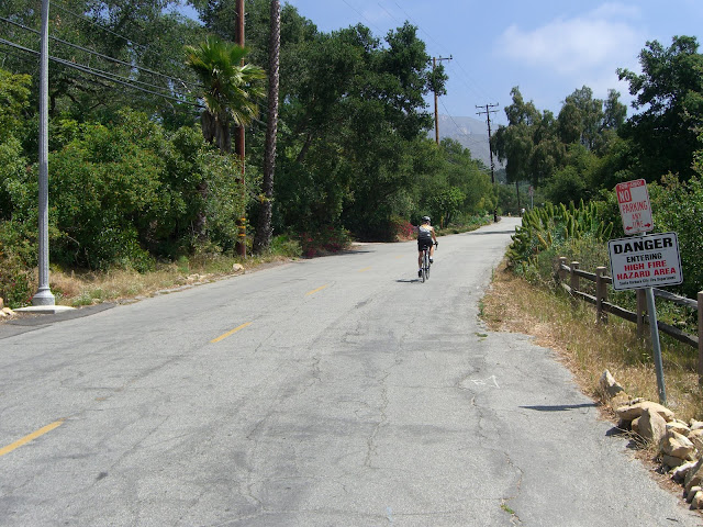
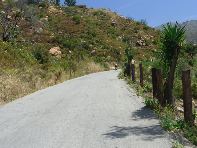
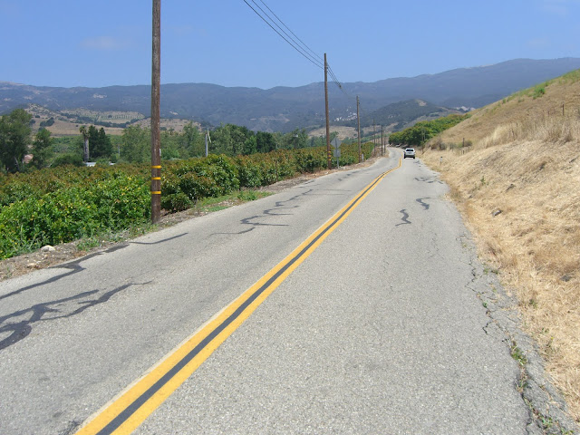
On the other hand, this meant the views would be nice. After a couple of miles of cycling through orchards, we start hitting some more forested sections:
 |
| From 2010-06-27 – Santa Barbara Cycling – Refugio Road to W Camino Cielo to Santa Ynez Peak |
 |
| From 2010-06-27 – Santa Barbara Cycling – Refugio Road to W Camino Cielo to Santa Ynez Peak |
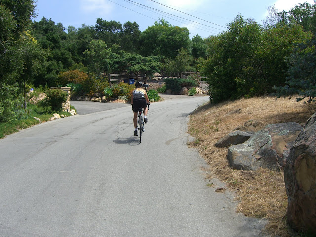
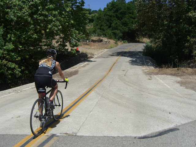
Soon, we hit the gorgeous Circle Bar B Guest Ranch:
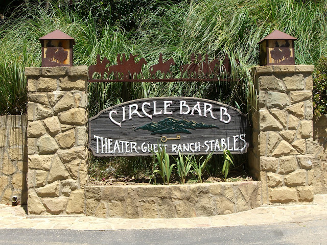 |
| From 2010-06-27 – Santa Barbara Cycling – Refugio Road to W Camino Cielo to Santa Ynez Peak |
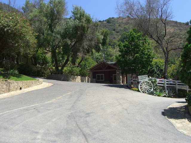 |
| From 2010-06-27 – Santa Barbara Cycling – Refugio Road to W Camino Cielo to Santa Ynez Peak |
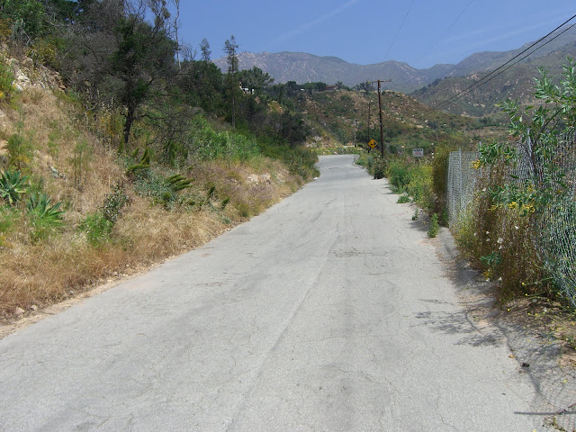
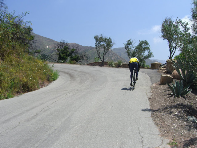
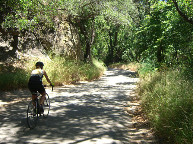
Most traffic you encounter will be going no further than here. After passing by Circle Bar B, the climbing starts in earnest (and with some great color!):
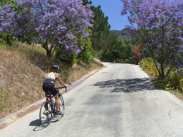 |
| From 2010-06-27 – Santa Barbara Cycling – Refugio Road to W Camino Cielo to Santa Ynez Peak |
Of course, the shade disappears just as you really start climbing:
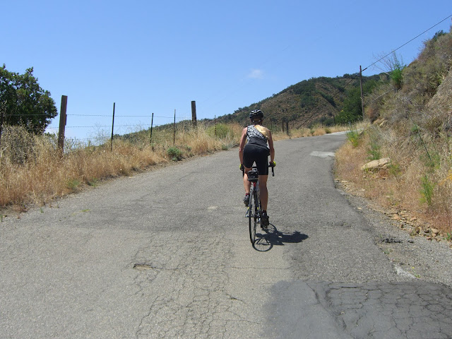 |
| From 2010-06-27 – Santa Barbara Cycling – Refugio Road to W Camino Cielo to Santa Ynez Peak |